Monday, April 17, 2017

Jumpingpound Loop

Distance: 5km for short loop or 9km for long loop.
Elevation Gain: 244m (lots of up and downs)
Time: 2-3 hour for short 4-5 hours for long
Difficulty: Easy-Moderate

Access:
Trans Canada Hwy (hwy 1) going west to Sibbald Creek Trail (hwy 68). There is a trail head at the Pinetop day use area that is gated off in the winter, so you will have to park on the side of the road. There is multiple places to start the hike as it is a loop going across the hwy a few times. If you drive past Camp Cadicasu then you have gone to far. Turn around and the start is in between the Texas Gate and that camp. You can also see a trail sign on the right going west.

Experience:
For Easter my family got together, and we wanted to go on a hike. We knew that it would be muddy from the recent snowy and rainy weather, but we went anyways. We got there, and had a really hard time finding the start of the trail. There is many fallen trees, and snow making it hard to see a distinctive dirt path. We found the Pinetop day use area, which has toilets and picnic tables. While there it appears as if you have to walk down by the creek, but that is not the right path. You are supposed to walk along the ridge right above the creek, but we didn't notice that. We ended up walking along the road until we saw a trail head, which we did that about 250m past the gate for Pinetop day use area. We started there and walked the loop. It was very muddy, wet, and snowy still, as being April in Alberta. The path goes up and down a lot, so see the 244m elevation gain doesn't sound so bad over 5 km, but it went up and down 244m many times during the hike. We hiked for 2.6km, and then ran into the middle of the hike sign where you can either go and cross the road or do the bigger loop. We decided to take the shortcut and cross the road. The other side is a lot flatter, but it was very windy. You will run into another camp ground that isn't kept up anymore, and has one broken picnic table to eat at, which is where we stopped for lunch. In total it took us about 3.5 hours.

The gate to go into PineTop day use area.

The regulations at the campground.
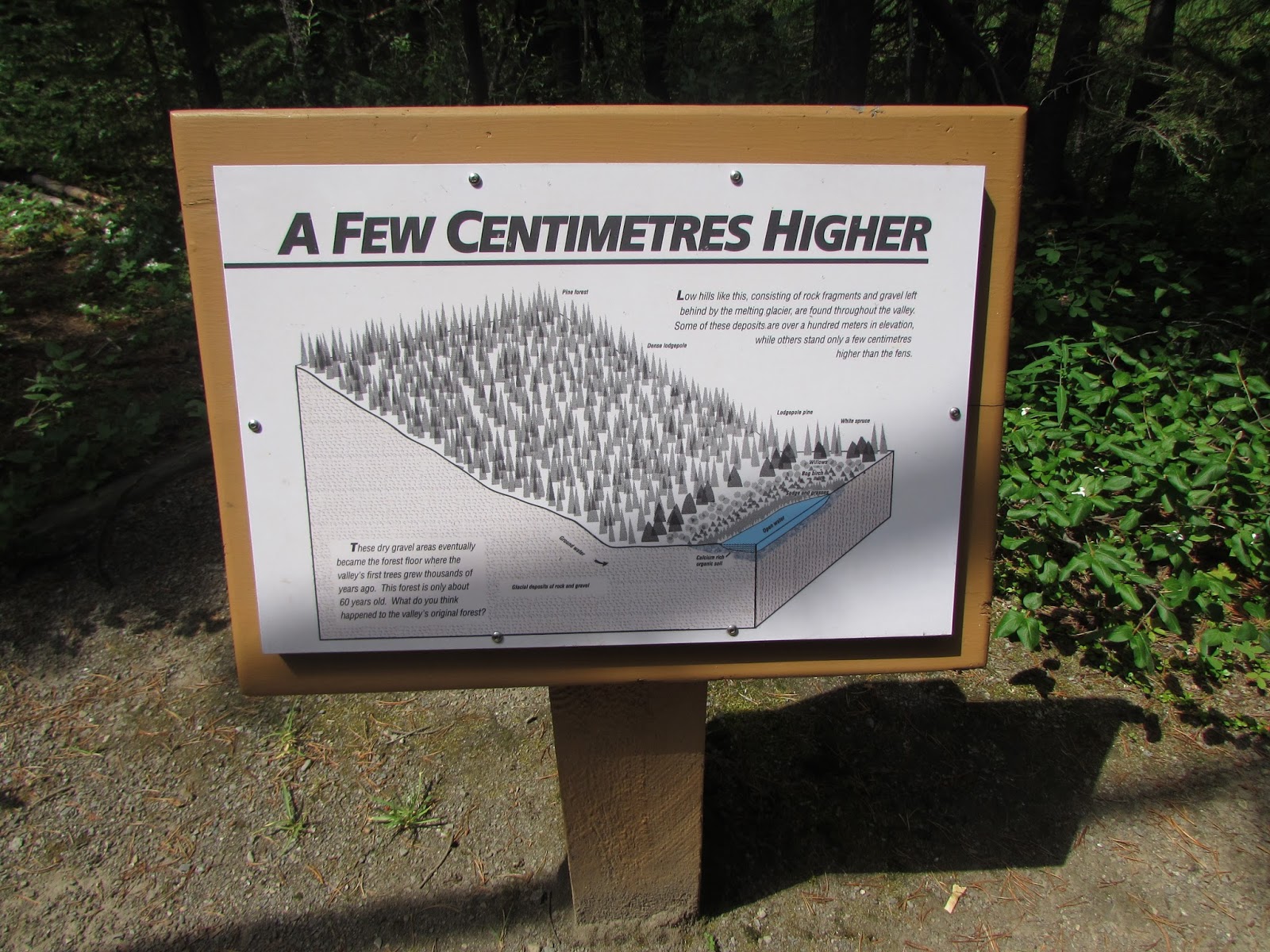
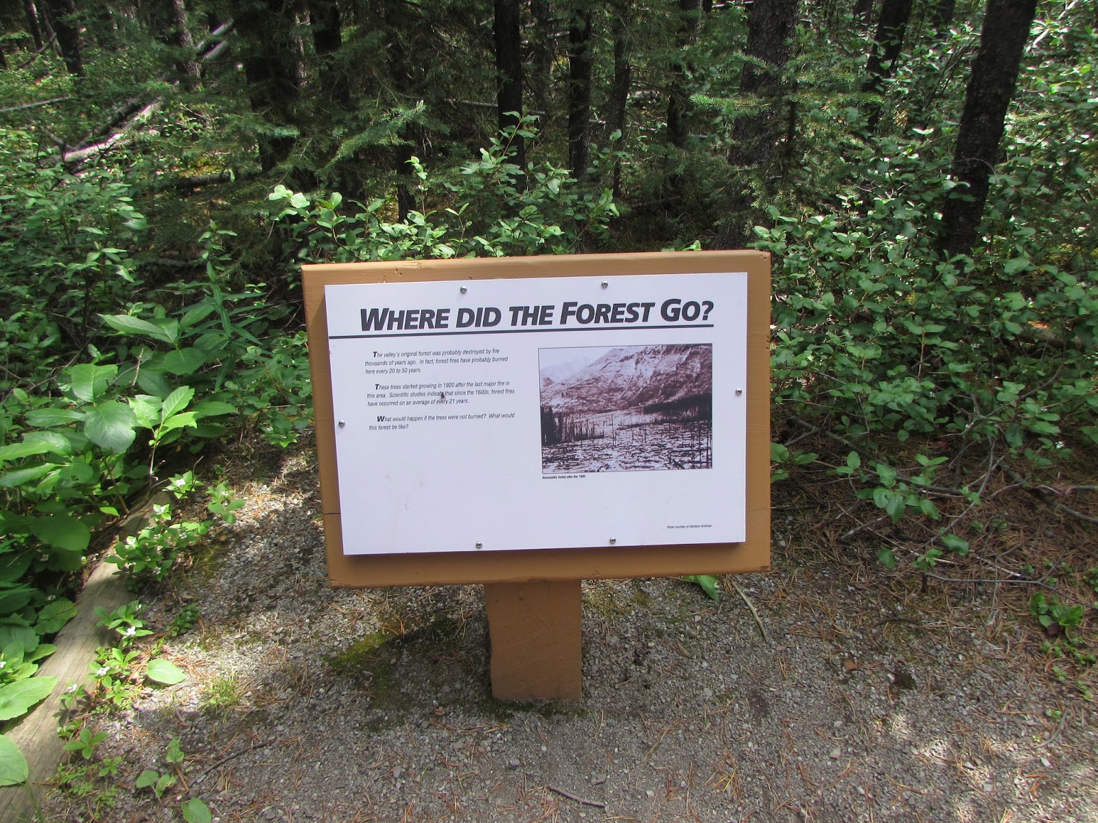

The trail map.

Jumpingpound Creek 

The trail head across the road from Pinetop Campground.

On our way!


Something funny we found on a tree

Some of my family

When a tree falls in the forest does it make a sound?
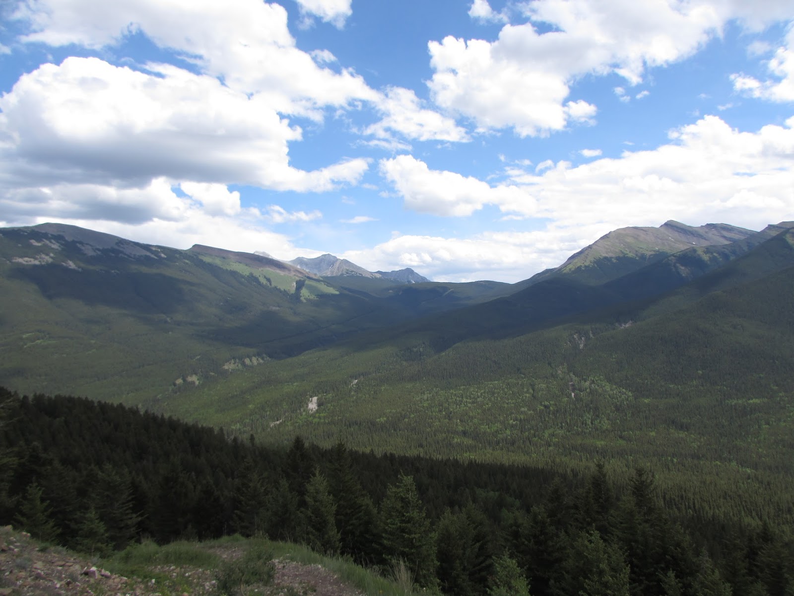
Some of the view

All of the gang that went on the hike!
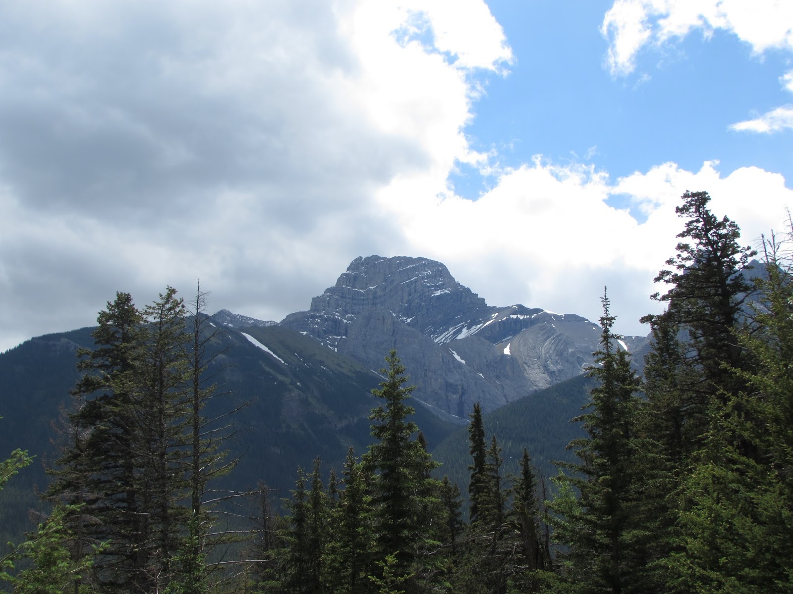
Moose Mountain

My hubby and I

The wild roses are starting to bloom

So much snow!


Quarter of the way mark

Crossing the road


The one broken picnic table

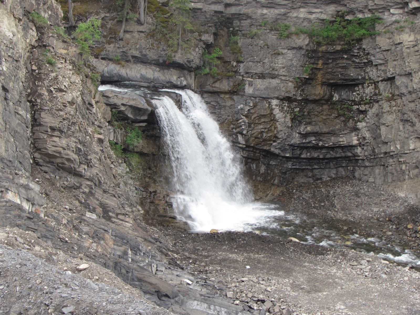
Flood damage from 2013


Saturday, July 11, 2015

Marl Lake

Short Hike
Distance: 2km both ways
Elevation Gain: 20m
Time: 1 hour
Difficulty: Extremely Easy 

Access: 
Trans Canada going West to Hwy 40 going south. Take a right turn onto hwy 742 into Peter Lougheed Park, but stay straight after that going towards Kananakis Lakes. Take left turn into Elkwood Campground. Follow signs going into the D-Loop. Park near the outhouse in between sites 114 and 115. There is a little sign pointing to a hiking trail. Just go down that hill and the trail sign is right there.

Experience: 
This hike is full of lots of signs and is a very easy walk. There is lots of meadows and it was very green and lush with loads of flowers! Marl lake is very beautiful, and the water is very clear and clean which was very nice to look at. We met a very nice lady that took our picture and that was nice. Other than that lady there wasn't many people that were on the trail which was nice, because we got to hear a loon sing and that was the first time I had ever heard one sing. 


The sign down to the trail sign 

Saturday, June 20, 2015

Wind Ridge

Half Day Hike
Distance: 6.5km
Elevation Gain: 800m
Time: 4 hours
Difficulty: Moderate

Access:
From Hwy 1 take Dead Man Flats turn off (#98) and then follow signs to Banff Gate Mountain Resort going over hwy 1 and drive past Thunderstone Quarry, then the next right is Skogan Pass parking lot.

Experience: 
At the beginning the trial is very clear and easy, but when you get down to the creek it is so washed out that its a bit of a climb and maze to figure out where to go. Our skills at walking across trees were definitely tested because we crossed a lot of trees to get over the creek the first time. On the way back it we found a easy way to get over it all.

We actually got lost because I thought we were doing a completely different hike but we were doing Wind Ridge which I don't regret the change of location because the view is beautiful! You can see Mount Lougheed and Windtower most of the time and they are very majestic mountains!

The hike is mostly in the trees which is nice on a hot sunny day. The trail does get pretty steep for a while but it isn't that bad. There is also a lot of Douglas Fir, and Lodge Pole Pine trees in the area and we saw some huge trees which is a rare thing to see in Kananaskis.

Not many people were on the trail and we saw 4 piles of bear dropping which was a little alarming. The hike was amazing though. It is one of my favorite views I have seen in all the hikes I have ever been on. I will go back there some day!
Falls that go into ThunderStone Quarry

At the trail head

Just a note for future hikers


Found a wild rose!

Let the tree crossing begin!!


Following the Carins

Crossing the creek


This Popular tree has had a tough life

SO MUCH HORSE TAIL!

Huge Douglas Fir!


Mount Lougheed

Mount Lougheed and Windtower


Going up to Windy Ridge

The View!


YAY! 

Can you see the little bug?


Love this view!!